Brisbane City Community Preparedness
Jurisdiction: Queensland

How can we use open and public data to understand the community’s level of preparedness for disruption to inform Council’s response and recovery efforts?
Brisbane City Council have a number of programs and websites with information to help prepare the community for different challenging times. We want to understand how prepared our residents and visitors are for these disruptive times. This could include for example, floods, but can include any disruption events.
Some of the indicators that could assist include:
• Insurance
• Sandbags
• Emergency kits
• First aid kits
• Connected to local community
• Vulnerable households / Census data (heatmap)
• Volunteer organisations
In addition to the highlighted datasets we encourage the use of other data including public data for this challenge.
Additional Information
External links:
• Brisbane City Council - Be prepared
• Brisbane City Council - Flooding in Brisbane
• Brisbane City Council - Emergency Dashboard
• Get Ready Queensland - Get Ready Queensland
• Australia Disaster Resilience - knowledge Hub
• CSIRO - Data Access Portal e.g. land surface temperature
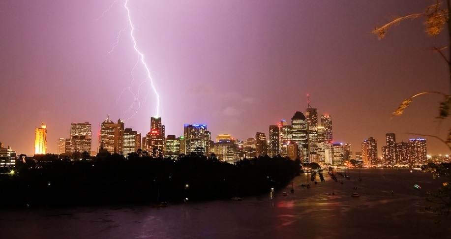
Image credit: Brisbane City Council, CC BY-NC-ND.
Eligibility: Needs to cover the Brisbane City Council area.
Entry: Challenge entry is available to all teams in Australia.
Dataset Highlight
Queensland Fire and Emergency Services
Queensland Resilience Index
QLD-Wildfire History
Telemetry sensors — Rainfall and Stream Heights
Flood — Awareness — Flood Risk Overall
Brisbane Community Profiles